Books, Maps and Calligraphic documents in the Topkapi Museum


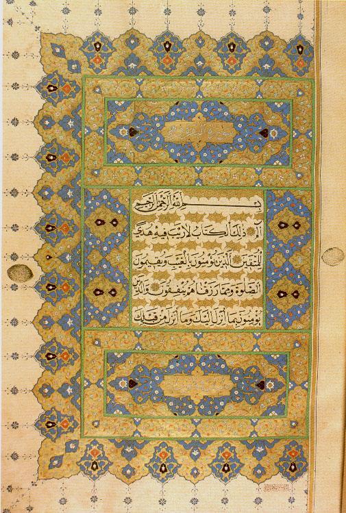
1) An illuminated page from a Koran by Ahmet Karahisari.

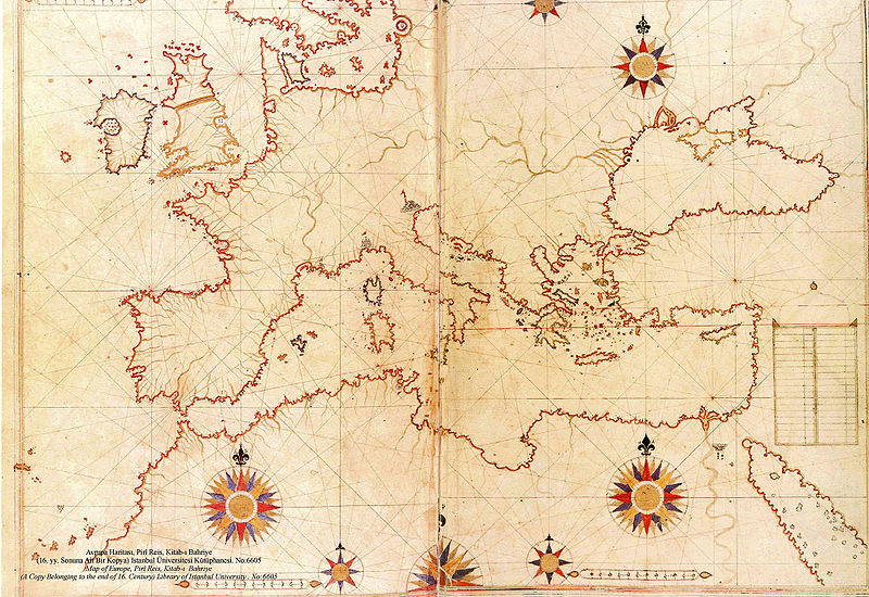
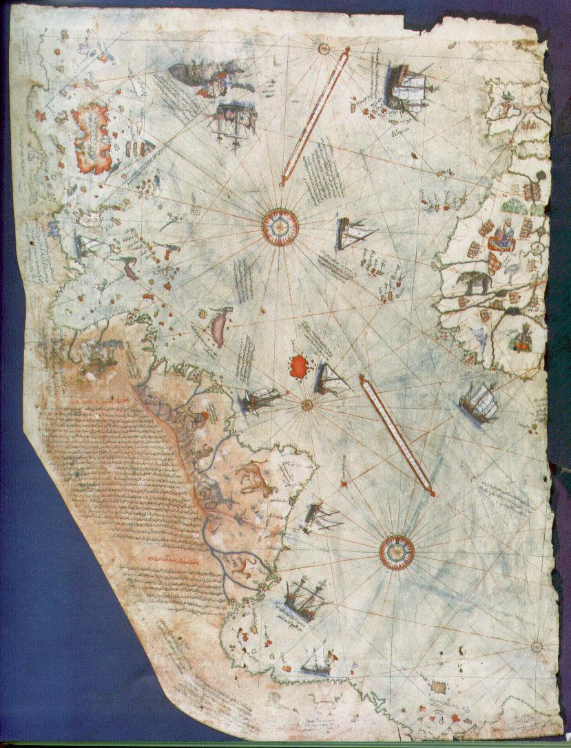
2) The map of Piri Reis
The map, which is drawn on parchment in colour, was executed by the Turkish geographer Piri Reis, a renowned cartographer of the 16th century. The map shows part of Europe and west coast of Africa, and eastern, central and south America, the Atlantic islands, and the ocean. A great deal of detail is given in South America. This map is in fact only the western section of the world drawn by Piri Reis and presented to Selim I in Cairo in 1517. It was prepared in Gelibolu. Piri Reis' map is the oldest known map which includes the continent of America.

3)Kitab-ý Bahriye by Piri Reis
The book contains maps of Mediterranean cities and islands. More maps can be accessed from Wikipedia (Rhodes, Chios, Mediterranean Sea) and PiriReisMaps Blogs


-----------------------


The museum contains a letter by the Leonardo da Vinci to Sultan Beyazid II proposing a bridge over the Golden Horn:
Bridge Project
http://www.leonardobridgeproject.org/leonardo-design.htm :
"I, your faithful servant, understand that it has been your intention to erect a bridge from Galata to Stambul... With these words Leonardo described in a letter to Sultan Bayezid II how he would build the greatest single span bridge of the ancient world. The two different drawings, one of which is a bird's-eye view, are explained in detail in Leonardo's own hand: The bridge, which stretches from Pera to Constantinople, is 40 braccia (1 meter = 1.64 braccia) wide, 70 braccia high above the water, and 600 braccia long, in other words, 400 braccia over the water and 200 over land, and thus has its own abutments." The Sultan remained unconvinced and the bridge was not built. The letter was discovered in the national archives in Istanbul in 1952."


A recent article on da Vinci Bridge project (from a Turkish newspaper)


Web www.ee.bilkent.edu.tr